
There are some pretty spectacular lakes in the Northwest: Crater Lake, Lake Chelan, Stanley Lake. They are set in stunning mountain scenery and visited as destinations in their own right. Ranked right there with them is the gem of Lake Crescent.
Located in the northwestern corner of the Olympic Peninsula, Lake Crescent is an easy destination for daytrippers and vacationers. And the trip will not disappoint. The heavily forested mountains on the north of the peninsula cradle the crystal clear blue waters creating beautiful views from any vantage point.
Highway 101 hugs the southern shore of the lake and there is no shortage of all those beautiful views. It's one of those winding roads motorcyclists and sports car drivers dream of, but be careful. The speed limit is 35 for a reason. Bicyclists ride on the narrow road and the lake has a long history of people driving off the road, the most notable is Blanch and Russell Warren who drove into the lake in the 20's and no one really knew what happened to them until 2002 when their car was found by divers.
But I would hate to drive fast on this road and miss all the opportunities for gawking at the views and pulling off at the ample pull-outs along the way.
And when you're done driving Highway 101 along the lake shore, head to one of the trailheads for the railroad grade trail and meander along the "backside" of Lake Crescent. It's a fairly flat 4 miles one way and leads you past Devil's Punchbowl - a very popular swimming hole.
When is the best time to go? Anytime. Spring brings new growth and roadside waterfalls. Summer brings recreationists playing on the water. Fall colors line the shore in autumn. And of course winter capped mountains are a must see, reflected in the still waters. I've never been disappointed by my favorite lake.


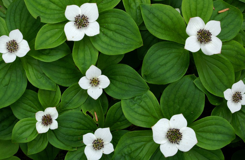
 We started out early Friday morning along the trail within earshot of the river. We were soon within view as it rumbled along over the rocks, twisting and curving around the sandbars. The first mile is a pleasant walk through green foliage sprinkled with splashes of blue & red berries hanging from shrubs and vines. At approximately 1 mile the trail crosses the river twice forcing hikers to ford the river without benefit of a bridge. I had never had to cross a river in such a manner - streams and creeks were no problem, but I was a little trepidatious about this crossing. After discussing the route with Michael, I took the plunge. The current pulled on my trekking poles and legs and the water frigid, but it was quite fun. I even asked if I could cross a couple more times after we crossed the second section.
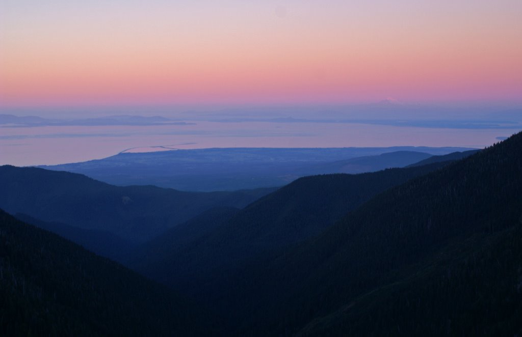
 Saturday's hike would take us another mile up the river before we'd start a rigorous climb up the Elip Creek trail to the Skyline trail - a climb of almost 3000 feet in 4 1/2 miles. It would be long day for us as we are not fast climbers. By the time we got to the main trail from camp, my boots pant legs were soaked from the rain-moistened foliage of the surrounding shrubs. My feet would not be dry for the rest of the weekend. We turned off the main trail onto the Elip Creek trail and made our way up the ridge through the thick forest as it cleared to become tree-spotted meadow. By this time the clouds parted slightly to allow us views of the mountains toward the interior of the park. We contemplated staying in these meadows for the night as the view was stunning with the distant dark green valleys giving way to light green alpine meadow and snow crested peaks above those. But we continued on to our camp for the evening at Three Prune Camp.


